Developing a global assimilation and modeling framework to produce SWOT data products
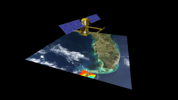
The SWOT satellite mission will observe water surface elevation, slope, storage change (directly) and river discharge (indirectly) globally at unprecedented spatial resolutions and accuracies, potentially having a “transformational impact in terrestrial hydrology”. Although the SWOT data products of the aforementioned variables will be tremendously valuable they can be enhanced by combining with hydrologic and hydrodynamic models. In fact, there have been a few studies that have examined the value of assimilating SWOT observations into hydrodynamic models to estimate river discharge or channel bathymetry. The primary advantage of using a data assimilation approach is the estimation of continuous fields of the SWOT-observed variables in both space and time. Moreover, data assimilation can be used to infer other variables (e.g. runoff) or optimize model parameters by accounting for model and observation errors. With this project we are developing a modeling and assimilation framework specifically for SWOT observations that could be used to generate Level 4 data products.